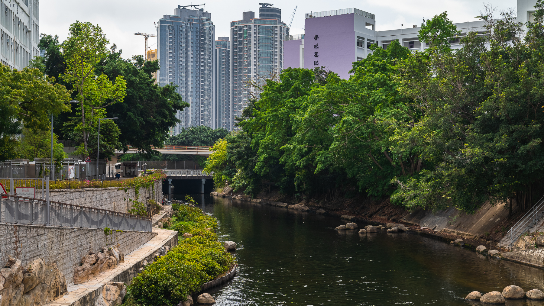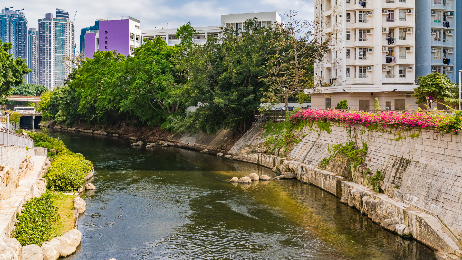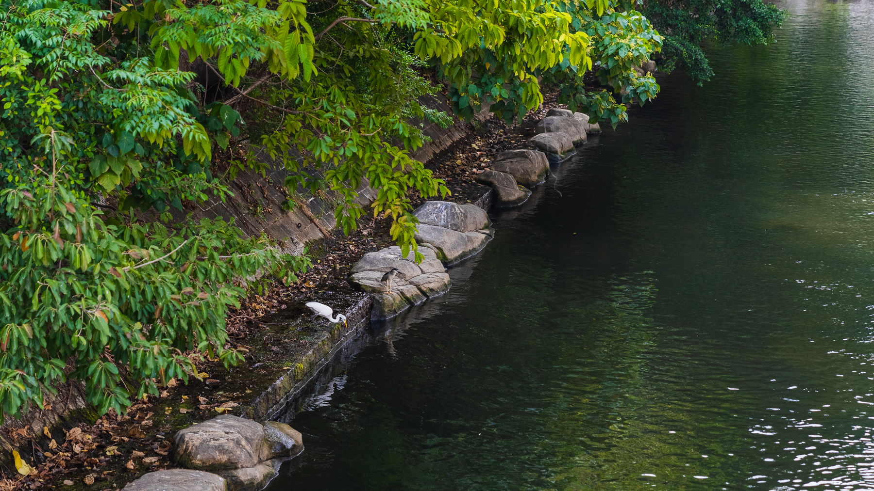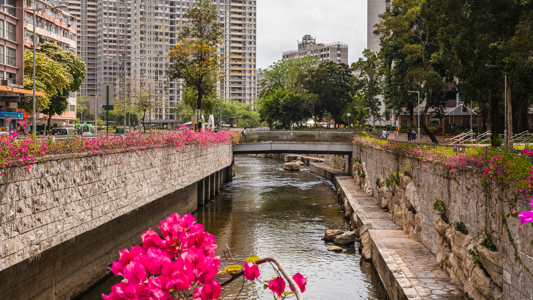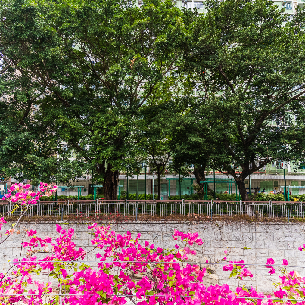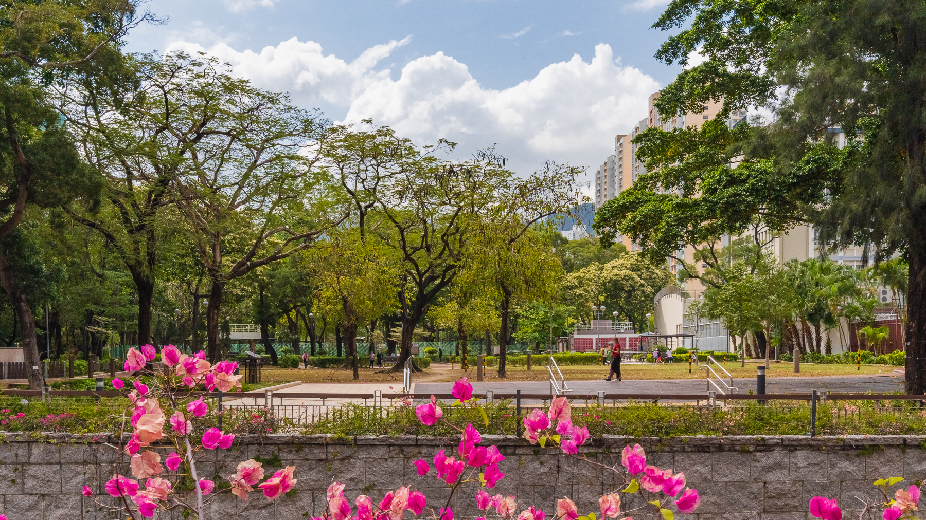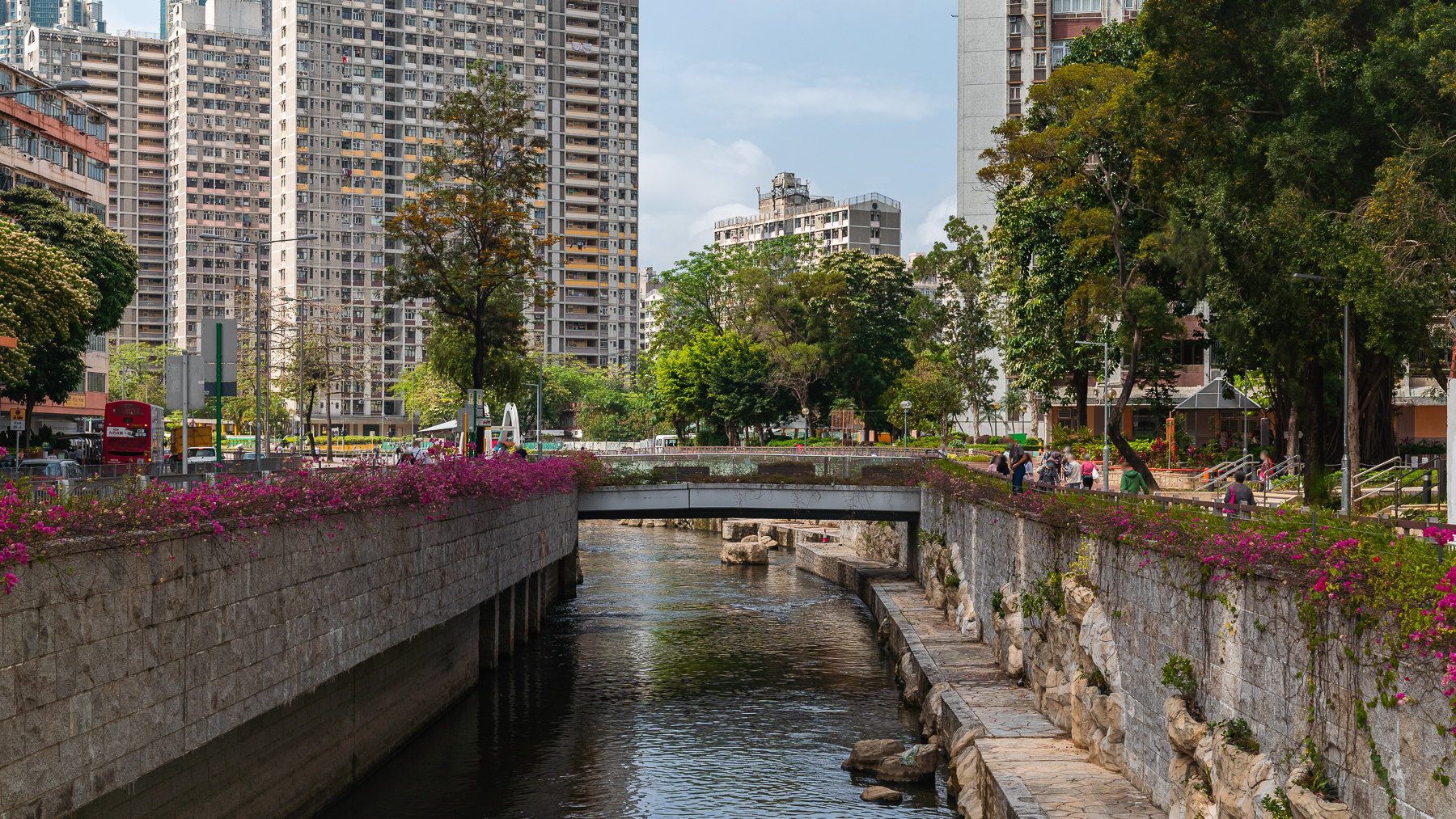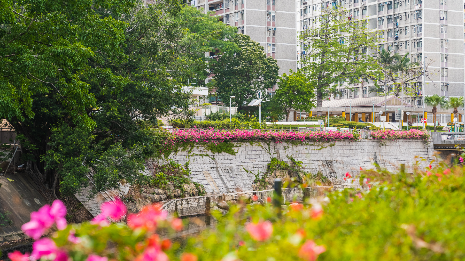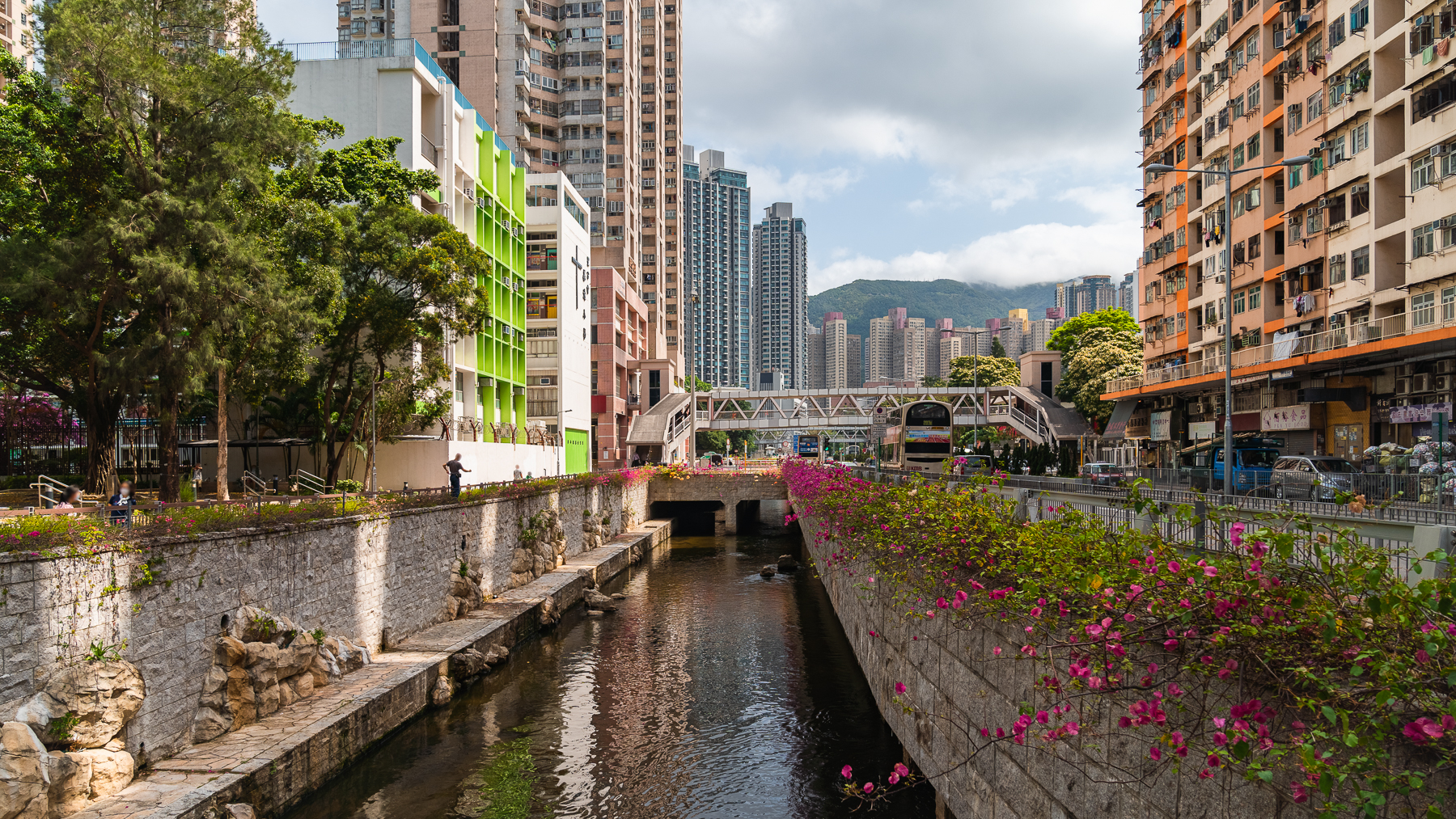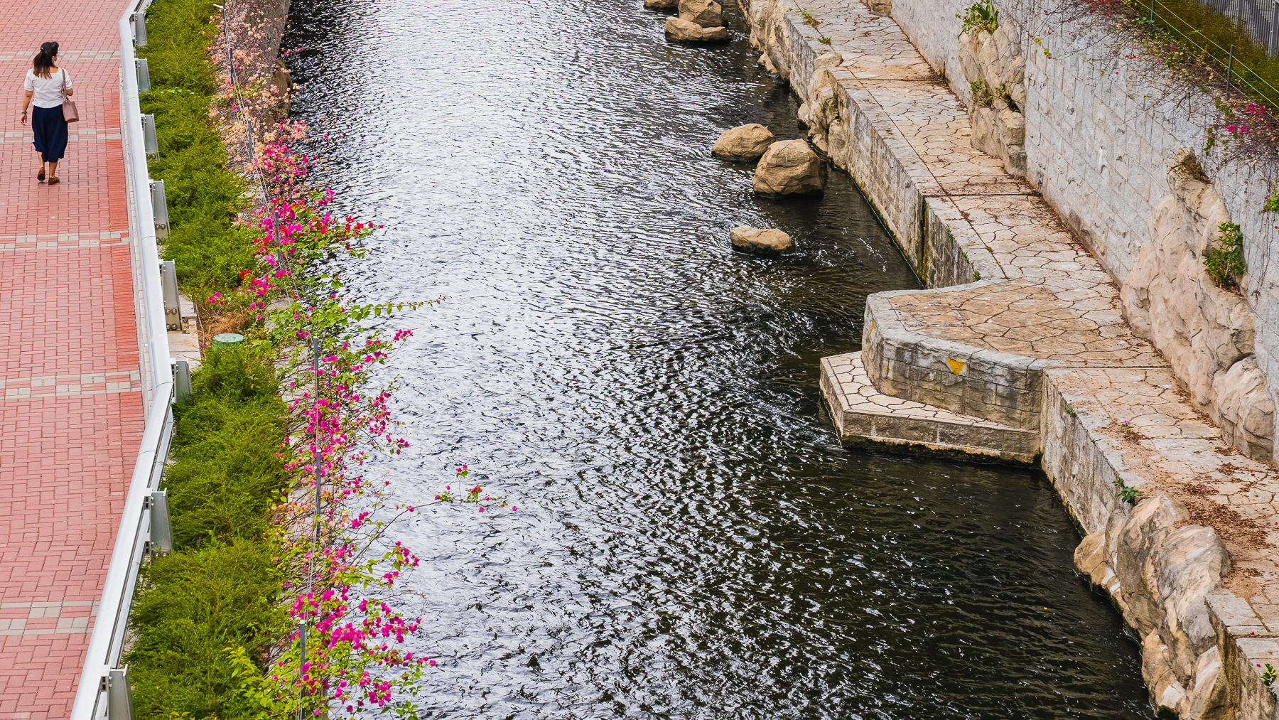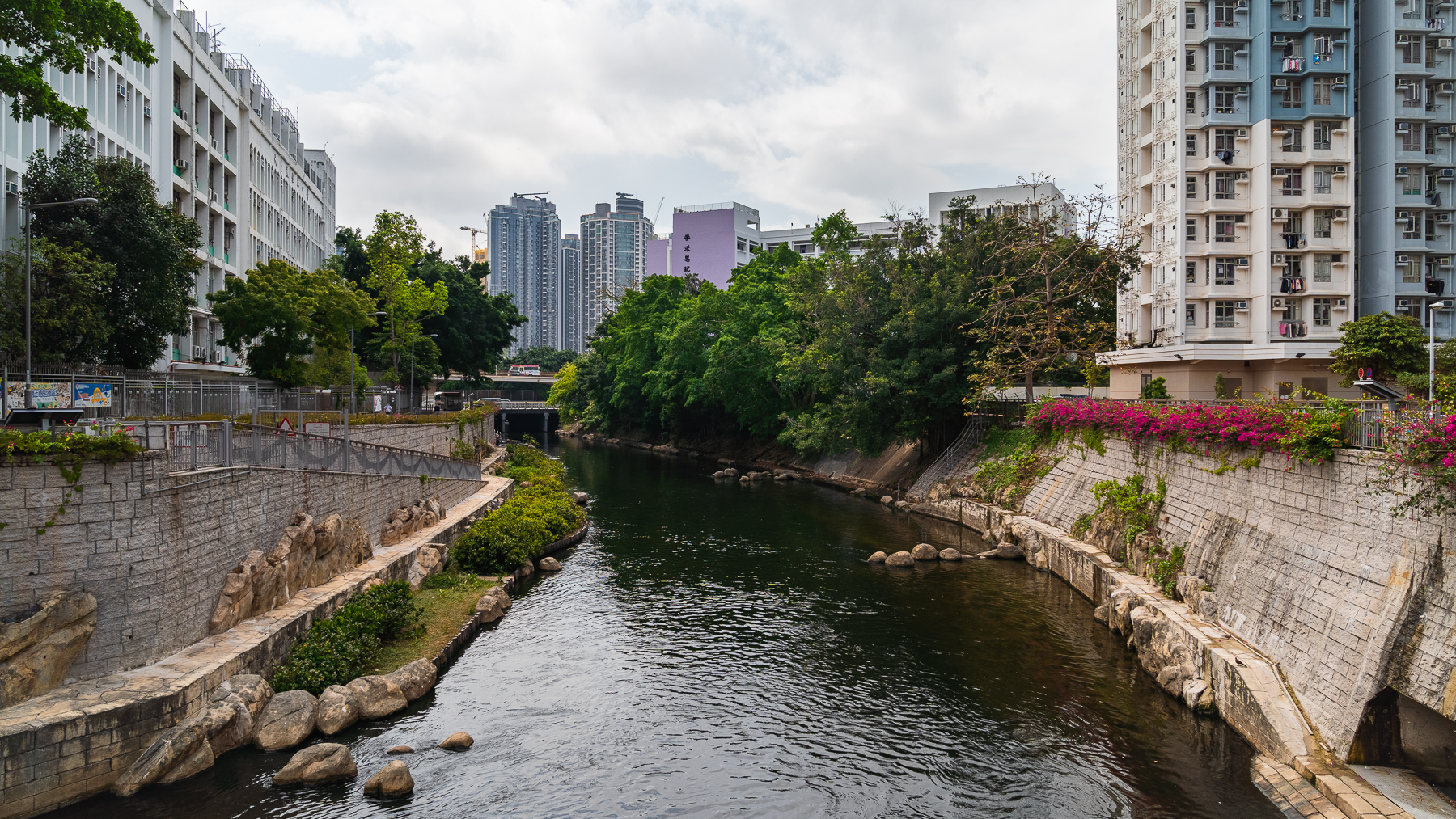
The approximate 2.4 kilometres Kai Tak River (known as Kai Tak Nullah in the past) is one of East Kowloon’s major drainage channels, as per Drainage Services Department (DSD). Due to urban developments and extreme weather conditions, serious flooding occurred in Choi Hung Road during rainstorms, affecting nearby residents. As the nullah did not meet the current flood prevention standards, DSD implemented river improvement works in stages to improve the 1.1 kilometres section of the nullah in Wong Tai Sin, in order to improve the drainage capacity of Kai Tak River and mitigate flooding risk of surrounded area. Construction works commenced in stages from October 2011 and were completed in 2018. DSD also seized the opportunity to improve the scenery of the local urban setting and provide leisure place for the public to enhance overall living environment of the area. To this end, greening and ecological elements were included in the Kai Tak River Improvement Works to revitalise this water body into an urban green river corridor that links the river closely with the local neighbourhood. DSD set up a trail along Kai Tak River in Wong Tai Sin district. It starts at Shatin Pass Road and ends at Prince Edward Road East with 10 panels in different locations along the 1 kilometre riverbank of Kai Tak River. History of Kai Tak River and information of the drainage improvement works are introduced to the public.